
Bringing Earth Observation to
Everyday Decisions
“Harnessing technology for a better tomorrow.”
Powered by Purpose

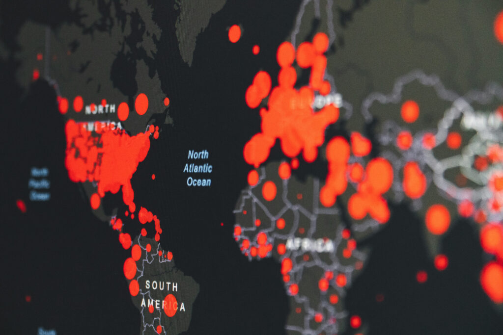
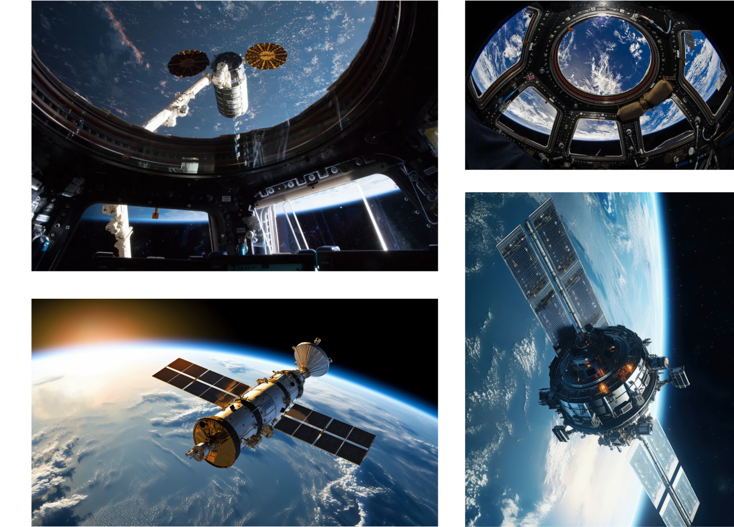
Geospatial Intelligence
Unlock real-time insights with satellite imagery, sensor data, and AI-driven analytics.

Intelligent Planning
Power infrastructure and urban development with predictive analytics and 3D digital twin modeling.

GeoAI Training
Build expertise in geospatial AI with hands-on learning and advanced training programs.

Collaboration
Drive innovation through strategic partnerships across infrastructure, construction, and urban development.

Redefining Space Through Intelligence
At AIQSPACE, GIS isn’t just about maps—it’s about unlocking patterns, predicting change, and transforming raw geospatial data into real-time insight. We empower organizations with AI-driven geospatial intelligence that fuels smarter cities, sustainable industries, and connected ecosystems.
About Us
Reimagining Intelligence. Building Possibility.
At AIQ Space Ventures, we see intelligence as a bridge to new possibilities. We combine science, design, and innovation to tackle complex challenges that shape cities, communities, and the environment. Our work is guided by a belief in collaboration and purpose, ensuring technology serves people, not the other way around. By turning ideas into impact, we are building a smarter, more resilient future for all.
1,200+
Active Users
7
Industry Sectors
15 TB+
Processed Data
28
Deployed Solutions


A Community Of Visionaries
At AIQ Space Ventures, we are a community of explorers, innovators, and problem-solvers dedicated to transforming how India understands and uses geospatial intelligence. Rooted in our mission to democratize access to spatial intelligence, we bring together expertise in AI, Earth observation, and analytics to empower decision-makers across sectors. What unites us is a shared belief that data-driven insights can strengthen resilience, accelerate sustainable growth, and shape smarter cities and communities. By fostering collaboration across disciplines and industries, we are not just building a platform—we are building a movement to redefine India’s geospatial future.
AIQ Space Ventures
Use Cases
Explore the diverse application areas of GIS in Agriculture,
Infrastructure, Energy, and Disaster Management.
Energy
Optimize energy planning and asset management with geospatial intelligence and predictive analytics.
Disaster
Enhance disaster preparedness and response through real-time satellite monitoring and AI-driven insights.
Infrastructure
Transform infrastructure development with 3D digital twins, intelligent planning, and sustainable solutions.
Agriculture
– Empower precision farming and crop management using satellite imagery and AI-powered analytics.
Product Preview
Sleek mockup of the GIS dashboard with interactive tooltips and micro-interactions for an enhanced user experience
Interactive Dashboard
Engage with real-time geospatial data in visually appealing interface
Tooltips for Insights
Hover over data points for detailed information and analysis
Micro-interactions
Seamless interactions for a smooth user experience

Urban Heat Mapping
AIQSPACE is using satellite thermal imaging and machine learning to decode the hidden patterns of urban heat islands. This project aims to guide smart city planning, reduce energy loads, and enhance climate resilience in densely populated regions.

Exploring Earth
One Layer At A Time. Building Future.
At AIQ Space, we decode the world beneath our feet and the dynamic systems that shape it. Leveraging satellite imagery, sensor networks, and machine learning, our AI-powered GIS stack uncovers patterns in urban evolution, environmental change, and infrastructure performance. These insights empower industries to plan intelligently, optimize resources, and build a more resilient future.

The AIQSPACE Platform
At AIQ Space, we decode the unseen layers of our planet and the intricate systems that sustain it. From urban growth to climate resilience, our AI-powered GIS stack transforms raw geospatial data into meaningful insights. We are building a future where every decision—big or small—drives smarter, sustainable, and more connected cities and communities.
Decode the Earth. Decide with Precision.
Sign up with your email to stay updated on the latest geospatial intelligence innovations.
Our team is a group of passionate experts driven by creativity, innovation, and a commitment to excellence. We bring together diverse skills and experiences to build solutions that make a real difference. United by shared values and experiences to build solutions that make a difference.
United by shared values and a bold vision, we work together to push boundaries, embrace new ideas, and turn challenges into opportunities and the real great & ability to work.

SANJAY TELI
Managing Director

NINAD MADHWANI
Founder & Chief Executive Officer

SAKSHI JALAN
Co-Founder & Chief Strategy Officer

SAKSHI JALAN
Head of GIS Dept.
Let’s Shape the Future of
Earth Intelligence Together
Whether you’re a city planner, environmentalist researcher or an
innovator seeking geospatial breakthroughs – we’re building with
purpose and there is space for you.